The Ultimate Guide to Free Printable Direction Maps: Navigate with Ease & Save Money
Getting lost is a universal experience, and while GPS apps have revolutionized navigation, they aren’t always reliable. Battery dies? No signal? Sometimes, the tried-and-true method of a printed map is the best solution. This comprehensive guide dives into the world of free printable direction maps, providing you with everything you need to plan your routes, find your way, and arrive at your destination stress-free – all without spending a dime. We’ll cover where to find these valuable resources, how to customize them, and tips for effective use.
Why Choose Free Printable Direction Maps?
In a world dominated by digital navigation, why bother with paper maps? Here are compelling reasons:
- No Reliance on Technology: No need to worry about battery life, data connectivity, or app glitches.
- Cost-Effective: They’re free! Save money on navigation apps or expensive GPS devices.
- Tangible & Personal: You can physically mark routes, highlight landmarks, and personalize your map for your specific needs.
- Backup Plan: Excellent as a backup to digital navigation, especially in remote areas.
- Educational: Helps you understand spatial relationships and improve your sense of direction.
Where to Find Free Printable Direction Maps: Your Digital Treasure Trove
The internet is brimming with resources offering free printable maps. Here are some of the best sources:
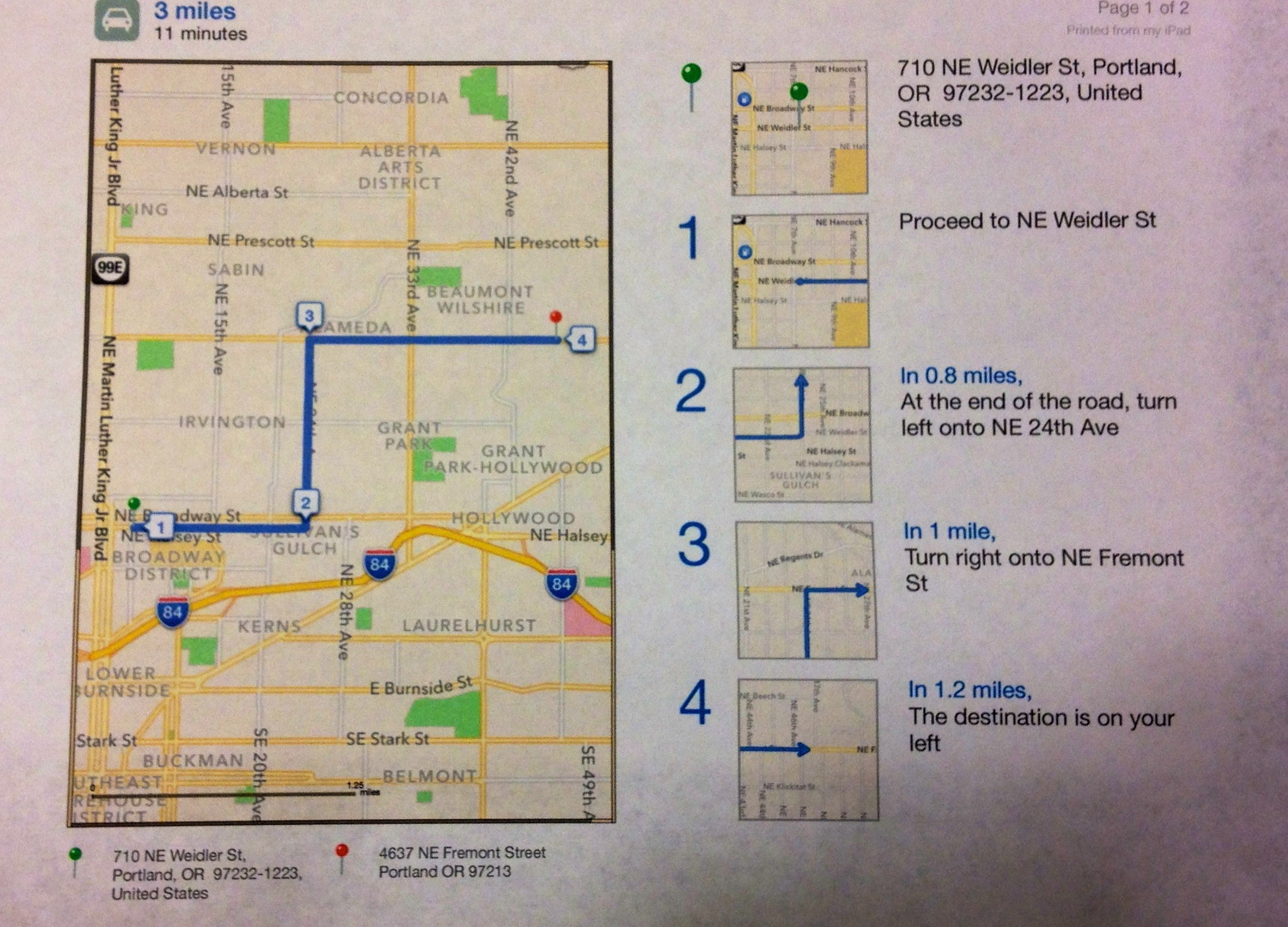
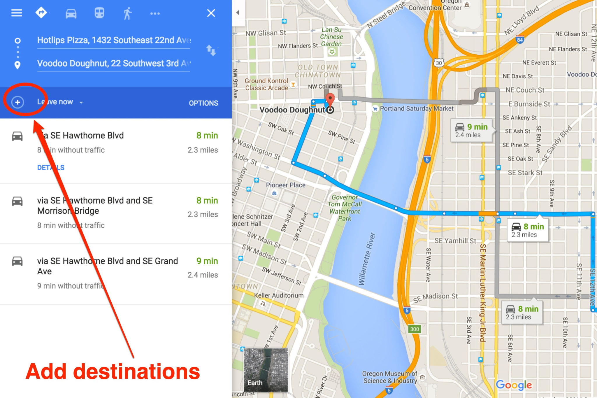
- Google Maps: This is your primary go-to.
- Detailed Directions: Generate directions to any location.
- Printable Maps: Easily print maps with turn-by-turn directions, including a street-level view and a zoomed-out overview.
- Customization: You can add your own notes, highlights, and landmarks.
- MapQuest: A long-standing competitor to Google Maps, MapQuest also offers free map printing.
- Route Planning: Similar route planning features as Google Maps.
- Print Options: Provides various print options, including different map scales and directions.
- OpenStreetMap: A collaborative, open-source mapping project.
- Community-Driven: Maps are created and maintained by a global community.
- Printable Tiles: You can download map tiles and print them using various software.
- Local Government Websites: Many city and county websites offer free printable maps, especially of parks, trails, and specific attractions.
- Tourism Websites: Tourist boards often provide free printable maps of popular destinations.
- Specialized Map Generators: Websites specifically designed for creating printable maps. These often offer more advanced customization options.
Step-by-Step Guide: Printing Your Direction Maps
Printing your map is straightforward. Here’s a general guide, though specific steps may vary slightly depending on the source:
- Access the Website: Go to your chosen website (Google Maps, MapQuest, etc.).
- Enter Your Destination: Input your starting point and destination.
- Generate Directions: Follow the prompts to generate driving, walking, or public transportation directions.
- Select Print Options: Look for a “Print” or “Share” icon. This will open print settings.
- Customize Print Settings:
- Map Scale: Adjust the map scale to show the desired level of detail.
- Orientation: Choose portrait or landscape to best fit your route.
- Include Directions: Select if you want turn-by-turn directions printed alongside the map.
- Map Style: Some websites offer different map styles (e.g., satellite view, street view).
- Print Your Map: Click “Print” to send the map to your printer.
Tips for Effective Use of Printable Direction Maps
To maximize the effectiveness of your printed maps, consider these tips:
- Print Multiple Copies: Print extra copies in case one gets lost or damaged.
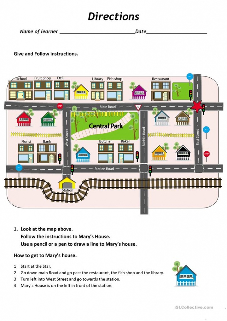
- Highlight Your Route: Use a highlighter or marker to clearly mark your planned route on the map.
- Annotate Landmarks: Note key landmarks, such as traffic lights, signs, or buildings, to aid navigation.
- Check for Updates: Road closures or construction can impact your route. Check for any updates before you leave.
- Bring a Compass (Optional): For added accuracy, especially in unfamiliar areas.
- Fold Your Map Strategically: Fold your map to show the relevant section for each leg of your journey.
- Consider Waterproofing: If you’re expecting rain, consider laminating your map or placing it in a waterproof bag.
Troubleshooting Common Issues
- Map is Cut Off: Adjust the print settings (e.g., margins, scale) to ensure the entire map is visible.
- Directions are Unclear: Review the directions carefully and double-check the route on the online map to ensure they are accurate.
- Map is Too Small to Read: Increase the map scale or print on a larger piece of paper.
Frequently Asked Questions (FAQs)
- Are free printable direction maps accurate?
- Generally, yes. They rely on data from reliable mapping services. However, it’s always wise to double-check the route and be aware of potential updates.
- Can I print maps for any location?
- Yes, most online mapping services allow you to generate and print maps for virtually any location worldwide.
- What type of printer do I need?
- Any standard inkjet or laser printer will work.
- Can I save the map as a PDF?
- Yes, most websites offer the option to save the map as a PDF file before printing, allowing you to print it later or share it electronically.
- Are there any legal considerations?
- For personal use, you’re generally safe printing maps. However, commercial use may require permission depending on the source. Always review the terms of service for the mapping service.
Conclusion: Navigate with Confidence and Cost-Effectiveness
Free printable direction maps remain a valuable tool for navigation, offering a blend of reliability, cost-effectiveness, and user-friendliness. By utilizing the resources and tips outlined in this guide, you can confidently plan your trips, navigate unfamiliar territories, and avoid the reliance on technology while saving money. So, ditch the dependence on a screen and embrace the power of a well-prepared, free printable direction map for your next adventure!
